


The national results of the Corine Land Cover includes the following products:
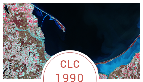
1. CLC 1990:
- The database cover / land use Corine Land Cover for 1990 for the area Polish (CLC1990_PL) format e00.,
- Land cover map CLC1990.
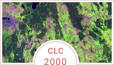
2. CLC 2000:
- The database cover / land use Corine Land Cover for the year 2000 for the area Polish (CLC2000_PL) format e00 and shp,
- The uniform database changes cover / land use Corine Land Cover 1990-2000 (CHA_PL) format e00 and shp,
- Corrected database cover / land use Corine Land Cover for 1990 for the area Polish (CLC90_PL) format e00 and shp,
- Metadata for the country (metadata for Corine Land Cover Database 2000 to 2006, the metadata for the base Corine Land Cover 2000 - files in the .doc format (MC00_PL, MC0CH_PL).
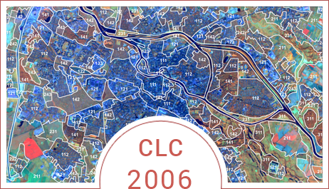
3. CLC 2006:
- The database cover / land use Corine Land Cover for 2006 for the area Polish (CLC06_PL) format e00 and shp,
- The uniform database changes cover / land use Corine Land Cover 2000-2006 (CHA_PL) format e00 and shp,
- Corrected database cover / land use Corine Land Cover for the year 2000 for the area Polish (CLC00_PL) format e00 and shp,
- Metadane dla kraju (Metadane dla bazy CORINE Land Cover 2000-2006, Metadane dla bazy CORINE Land Cover 2006 – pliki w formacie doc (MC006_PL, MC0CH_PL).
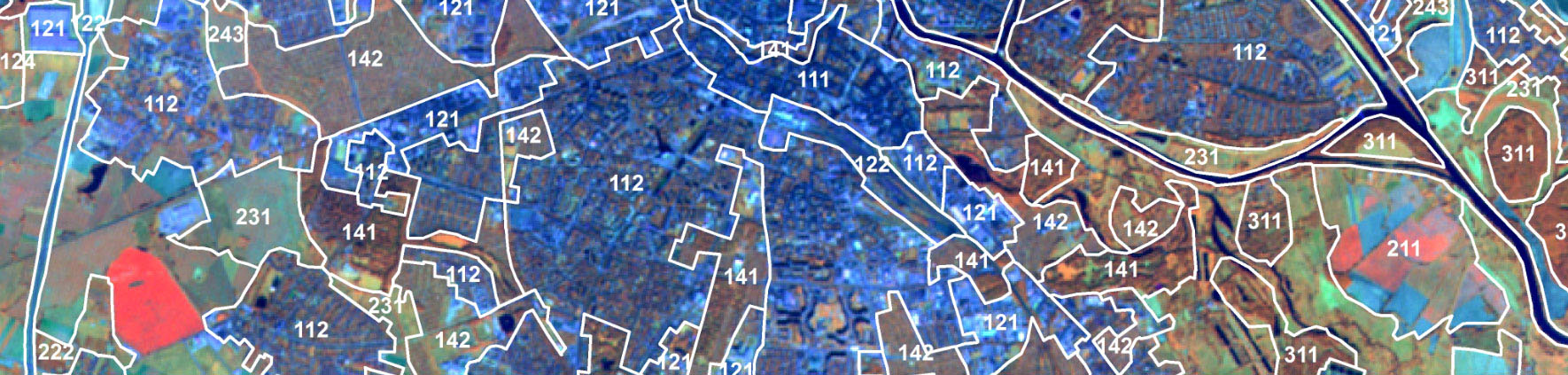
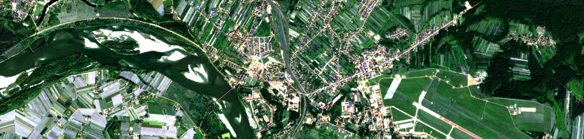
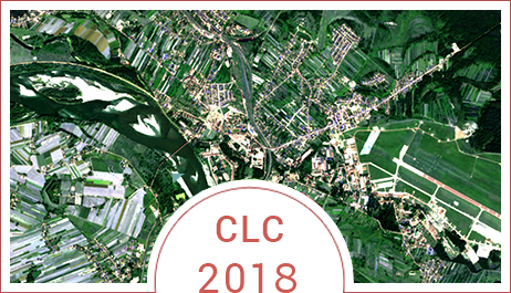
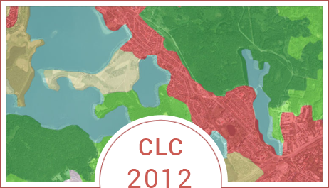
4. CLC 2012:
Geobaza CLC2012 zapisana w formacie .mdb zawierająca:
- Base changes cover / land use of the country 2006-2012 (CHA12_PL),
- Base cover / land use of the country in 2012 (CLC12_PL),
- Corrected base cover / land use of the country in 2006 (CLC06_PL),
- Metadata for database changes cover / land use of the country 2006-2012 (MC0CH_PL),
- Metadata for the base cover / land use of the country in 2012 (MC012_PL).
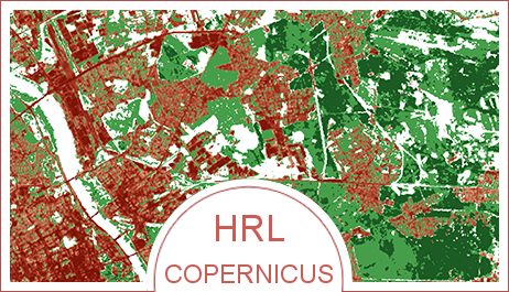
Layers with High HRL at a spatial resolution of 20 m:
- Impervious areas,
- Forests (wooded areas and forest types)
- Bodies of Water.
As part of the Spatial Data Infrastructure Node - GIOŚ - INSPIRE - Chief Inspectorate for Environmental Protection provides a set of vector data, including Layers:
- CORINE Land Cover - 2000 - skorygowana
- CORINE Land Cover - 2006
- CORINE Land Cover - zmiana - 2000 - 2006
- CORINE Land Cover - 2006 - zweryfikowana
- CORINE Land Cover - 2006 - zweryfikowana - bufor
- CORINE Land Cover - 2012
- CORINE Land Cover - 2012 - bufor
- CORINE Land Cover - zmiana - 2006 - 2012
- CORINE Land Cover - zmiana - 2006 - 2012 - bufor
Layers are available within a dedicated geo-portal and through Web Map Service - WMS.
Links to Geoportal and services in the categories Services.