


Environmental policy of the European Union, including Poland, requires up-to-date information on land cover/land use status. The European Commission and European Environmental Agency (EEA) used CLC 1990 database as a supporting tool to monitor many sectoral programmes of the Union.
In 1999 EEA jointly with the European Commission decided on updating CLC database. In result a new project named Image&CORINE Land Cover 2000 (I&CLC2000) has been established. It covered the EU member states and associated countries. It was conducted in the form of national project CORINE Land Cover 2000 (CLC 2000). The I&CLC2000 project at European level was managed by EEA.
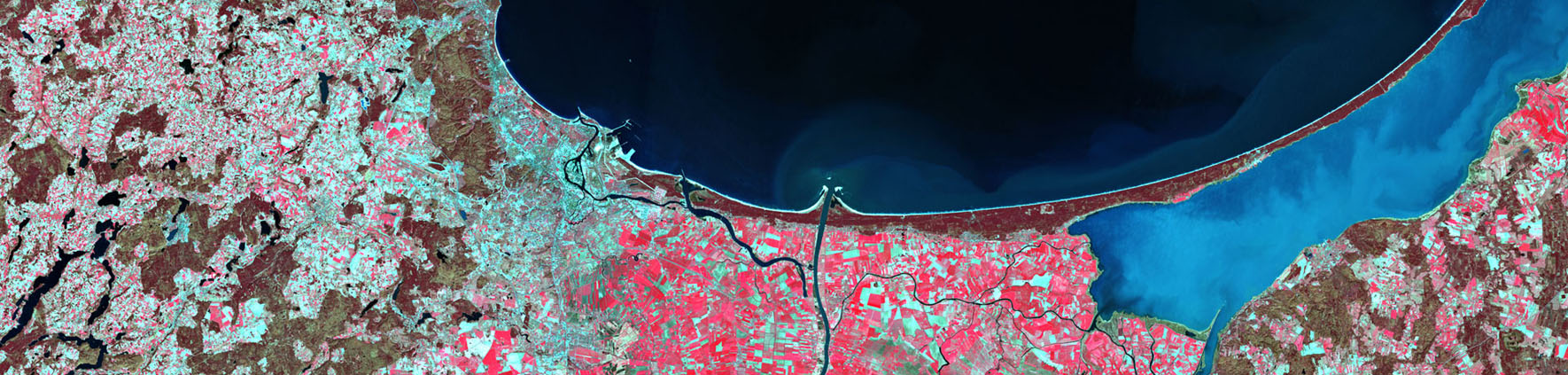
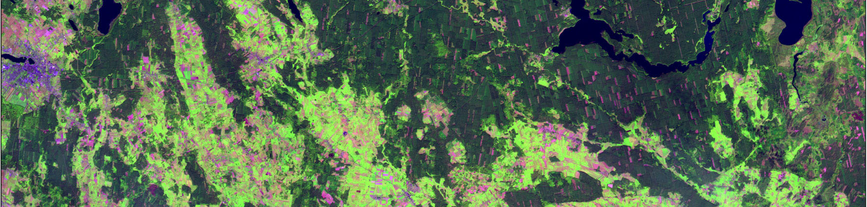
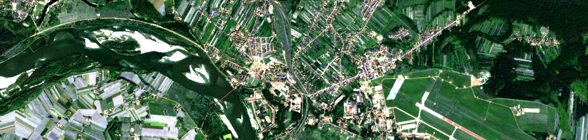
The national project CLC 2000 comprised revision of CLC 1990, land cover change mapping CLC-Changes 1990-2000 and preparation of CLC 2000 database. The CLC 2000 inventory was performed based on ortho-corrected Landsat 7ETM+ satellite images provided by the IMAGE2000 component. The Chief Inspectorate for Environmental Protection, serving as a National Focal Point with EEA, was responsible for execution of CLC 2000 project, while the Institute of Geodesy and Cartography was the direct contractor.
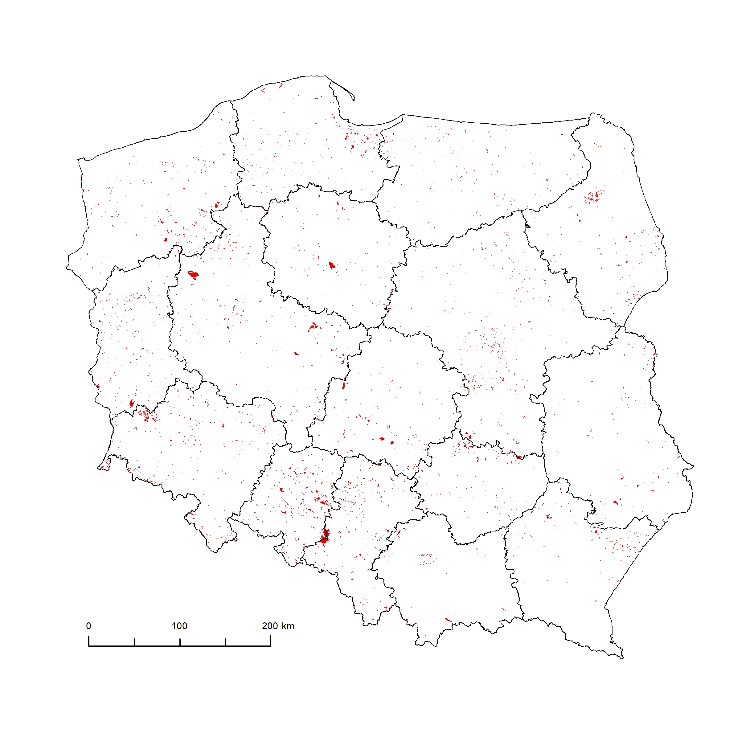
The most important novelty of CLC 2000 was the creation of a database of CLC-Changes. It was a policy requirement to map land cover changes smaller than the 25 ha MMU size of CLC. The MMU of the land cover changes database was set to 5 ha. The 100 m minimum width is also valid for the change polygons for practical reasons (Büttner et al., 2002 and Feranec et al., 2007). Changes should refer to real evolution processes and not to different interpretations of the same subject (Feranec et al., 2006).
Results of CLC 2000 project at national level:
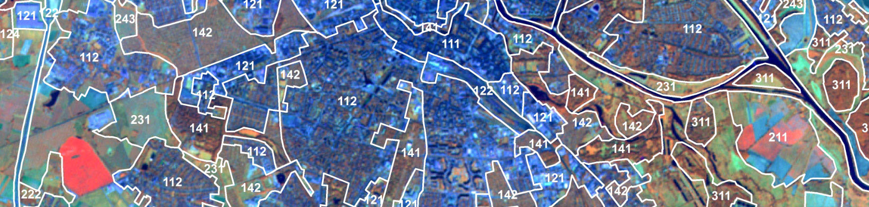
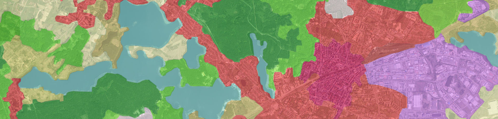
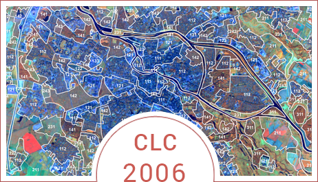
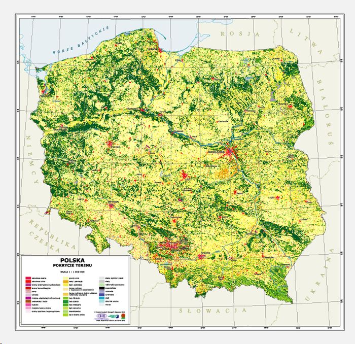
- CORINE Land Cover 2000 for Poland (CLC2000_PL) in e00 and .shp formats
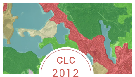
- CORINE Land Cover 1990-2000 for Poland (CHA_PL) in e00 and .shp formats
- Corrected database – CORINE Land Cover 1990 for Poland (CLC90_PL) in e00 and .shp formats
- Metadata for Poland (Metadata for CORINE Land Cover 1990 - 2000 database, metadata for CORINE Land Cover 2000 database – files in .doc format (MC00_PL, MC0CH_PL)
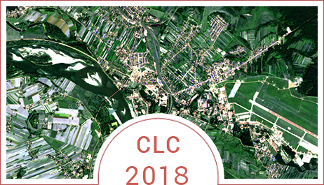
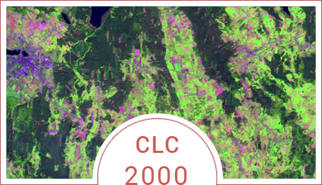
Map CLC 2000
Attachments: CLC-Changes 1990-2000 and CORINE 2000
Reference system:
Land cover/land use information was presented in the coordinate system PL_EUREF89 / 1992 (EUREF-POL) characterized by the following parameters:
- Ellipsoid: GRS80
- Longer axis of ellipsoid: 6378137
- Projection: Transverse Mercator
- Units: meters
- Central meridian: 19,00000
- Coordinates of origin: X=500 000, Y=-5 300 000
- Change of scale at central meridian: 0,9993