


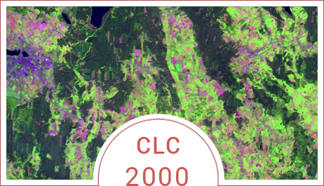
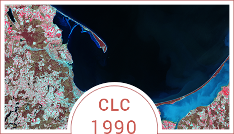
Copernicus (GMES) GIO Land Monitoring project 2011-2013 is a continuation of previous EEA project – CORINE Land Cover CLC 1990, CLC 2000 and CLC 2006. The main goal of the project is to demonstrate succeeding land cover changes, which appeared in 2006 – 2012 period and creation of CLC 2012 database. Additionally, within Copernicus programme 5 high-resolution layers (HRL) - imperviousness, forests (woodland and types of forests), grasslands, permanent water bodies and wetlands, were prepared. The Institute of Geodesy and Cartography was responsible both for preparation of CLC 2012 database, and for verification and enhancement of HRLs.
For CLC 2012 project the following satellite imagery were used:
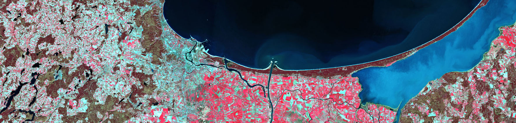
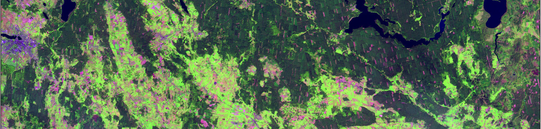
- SPOT4 and IRS P6 acquired in 2006 +/- 1 year,
- RapidEye (resampled to 20 m spatial resolution) and IRS P6 acquired in 2011 and 2012.
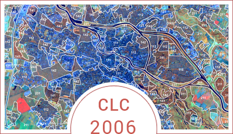
In CLC 2012, there was a strong requirement to improve CLC 2006 (geometry and thematic content). Revised CLC2006 was used for the production of CLC-Changes2006-2012 and CLC 2012.
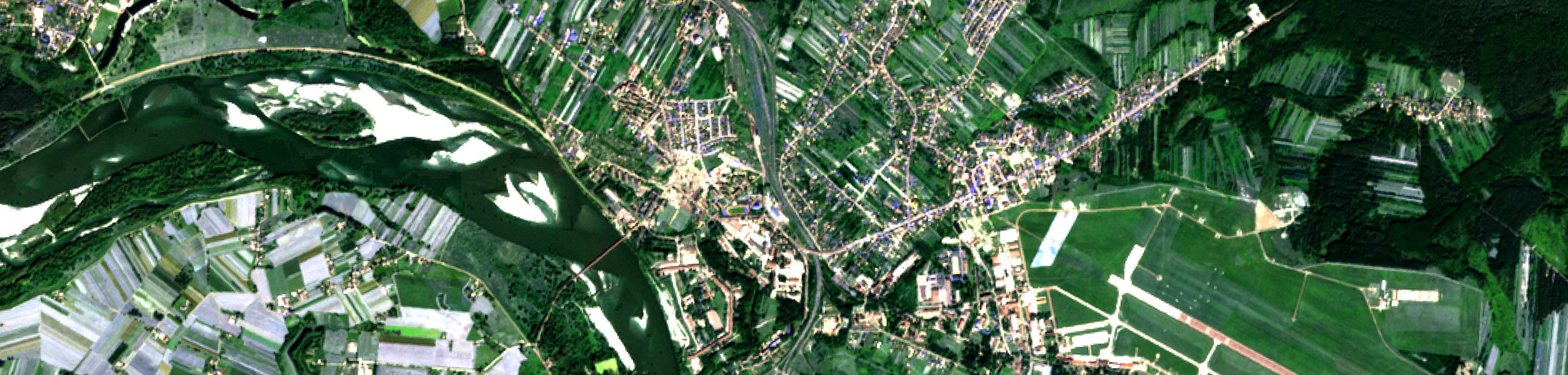
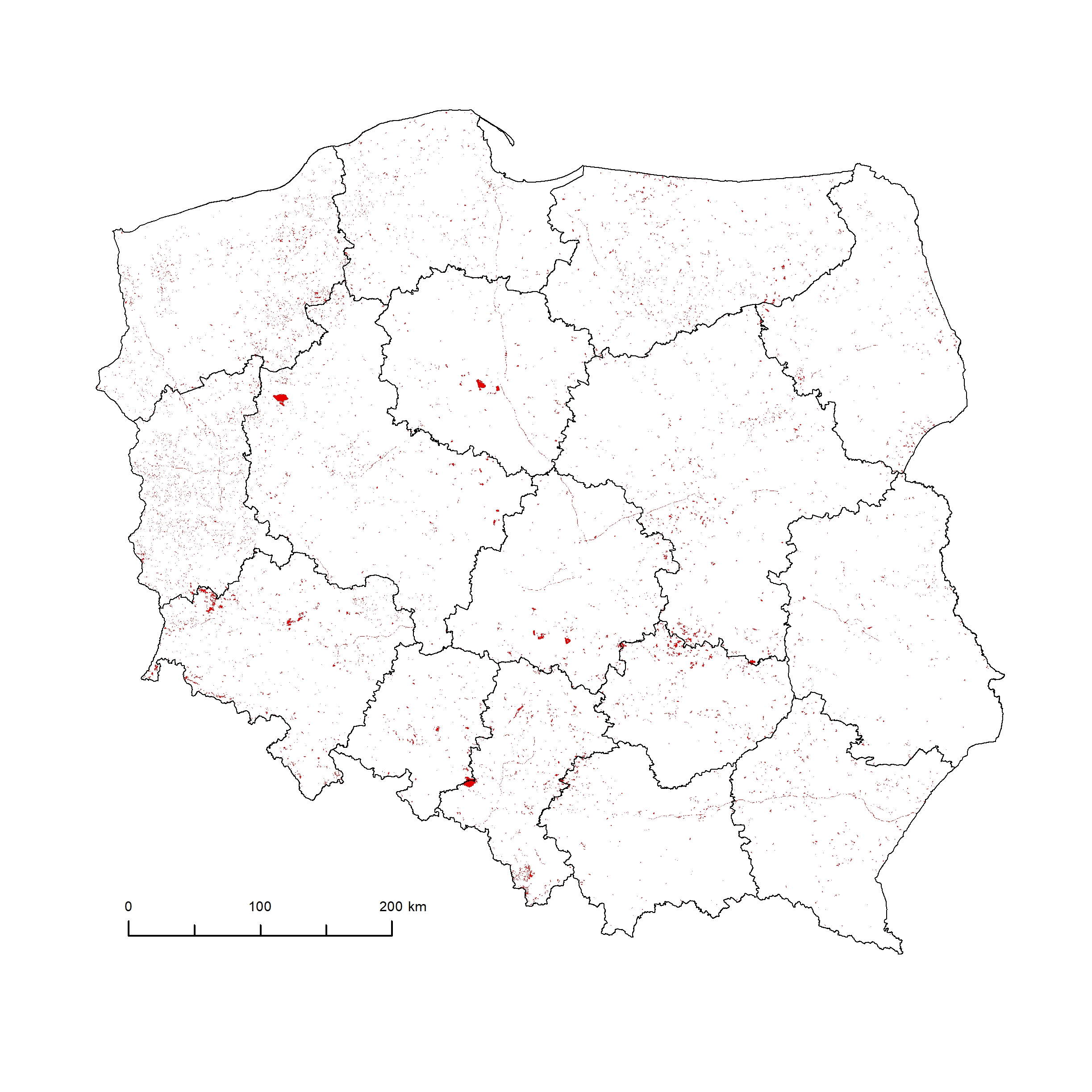
The CLC 2012 databases were produced with the 1 km buffer from the country boundary. The interpretation was supported by ancillary data: BDOT10K topographic database in WMS format available through the national GIS geoportal (geoportal.gov.pl), orthophotomaps and archival / recent satellite images (Google Earth).
Results of CLC 2012 project at national level:
1. CLC 2012 in .mdb format
- Land cover/land use change database for Poland 2006-2012 (CHA12_PL)
- Land cover/land use database for Poland 2012 (CLC2012_PL)
- Corrected land cover/land use database for Poland 2006 (CLC06_PL)
- Metadata for land cover/land use change database for Poland 2006-2012 (MC0CH_PL)
- Metadata for land cover/land use database for Poland 2012 (MC012_PL)
CLC 2012 database covers the whole territory of the country with 1 km buffer.
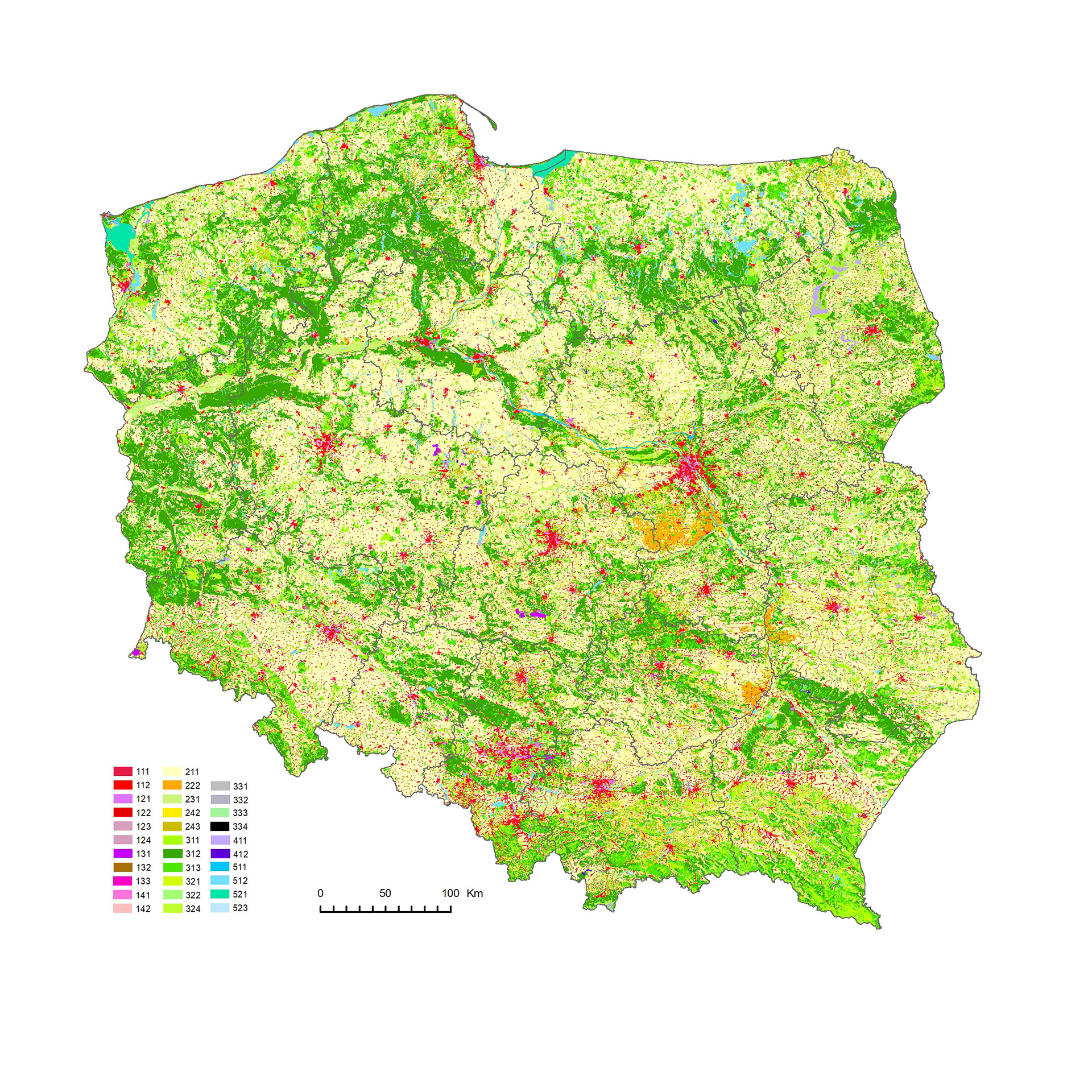
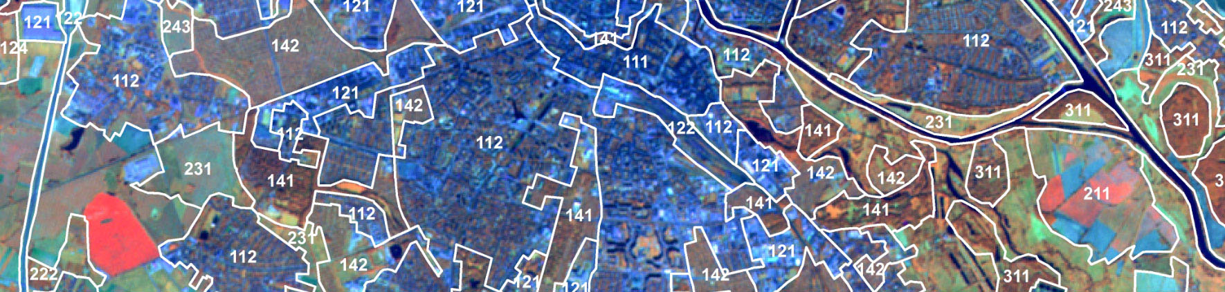
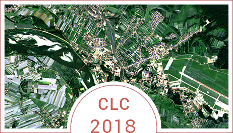
Map CLC 2012
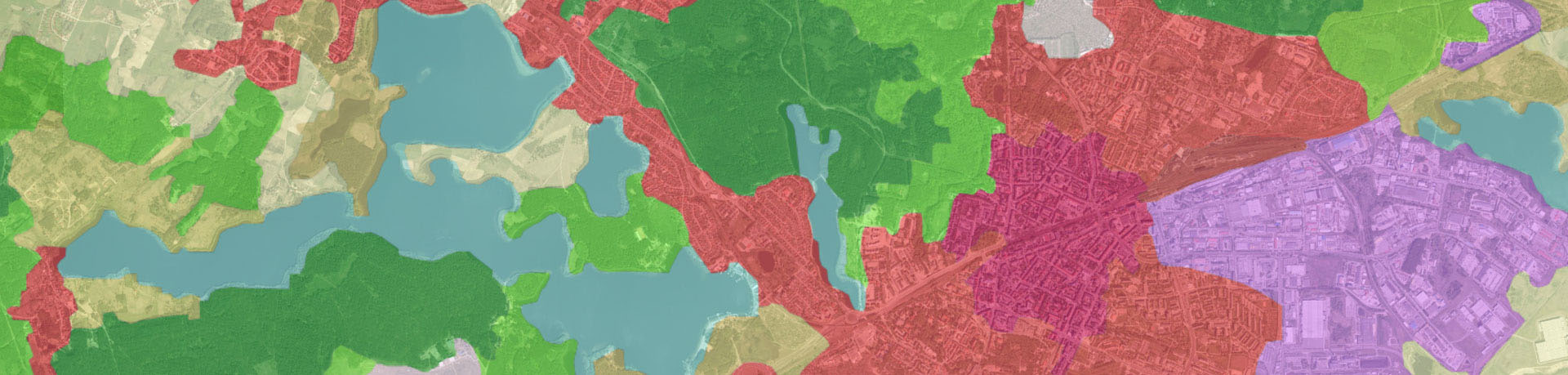
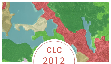
Map CLC 2006 - 2012
Reference system:
Land cover/land use information was presented in the coordinate system PL_EUREF89 / 1992 (EUREF-POL) characterized by the following parameters:
- Ellipsoid: GRS80
- Longer axis of ellipsoid: 6378137
- Projection: Transverse Mercator
- Units: meters
- Central meridian: 19,00000
- Coordinates of origin: X=500 000, Y=-5 300 000
- Change of scale at central meridian: 0,9993
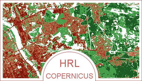
2. High Resolution Layers:
- Imperviousness
- Forests (tree density and types of forests)
- Permanent water bodies
- Grasslands
- Wet lands