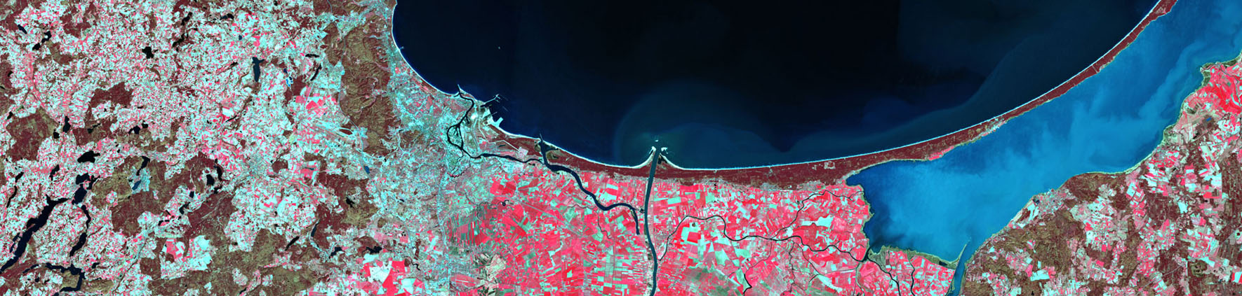


First inventory of land cover within CORINE Land Cover project was done for a reference year 1990. The CLC 1990 inventory was performed based on Landsat TM images acquired between 1986 and 1995. During the first CLC inventory the photointerpretation method was done on hardcopies: a transparent overlay was fixed on top of a satellite image and the photointerpreter drew polygons on it marking them with a CLC code. Later the overlay was digitised, topology was created and the CLC code entered. This procedure often resulted in several types of errors in geometry as well as in thematic content, which were mostly corrected later within the frame of the I&CLC2000 project.
Land cover in Poland in 1990 was presented in the form of wall map at a scale of 1:1 000 000. The map was prepared at the Institute of Geodesy and Cartography.
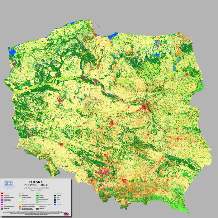
Map CLC 1990
Results of CLC1990 project at national level:
- CORINE Land Cover land cover/land use database for 1990 for the territory of Poland (CLC 1990_PL) in e00 format.
- CLC 1990 land cover map.
Source data:
- Landsat TM 4/5 images,
- Ancillary materials: Topographic maps at scales 1:50 000 and 1:100 000, thematic maps, city plans, aerial images (analog materials)
Reference system:
Land cover/land use information was presented in the coordinate system characterized by the following parameters:
Ellipsoid: Krassowski
Projection: Gauss-Krüger
Units: meters
Central meridian: 19.00000
Coordinates of the origin: X = 500 000, Y = -5 300 000
Change of scale at central meridian: 1